Big Loop Hike in Chiricahua National Monument
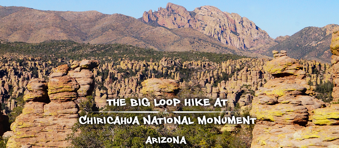
The Big Loop hike is the best hike in Chiricahua National Monument for immersing yourself in the incredible rock formations and experiencing the areas outstanding scenery! There are nine different trails that link together to create the Big Loop hike showcasing the most dramatic and numerous rock formations within Chiricahua National Monument.
This hike is a must do for any visitors with just one day to experience the monument and for those just looking for a fantastic day hike. Plus the Big Loop hike is, as the name implies, is a loop so it skips the backtracking and packs in as much new scenery as possible. And the loop within the loop, Heart of Rocks Loop, just tops off the whole experience and is only accessible after putting in some miles! Enough about why you should hike the Big Loop and on to what to expect on this great hike in Chiricahua National Monument.
Quick Info: Big Loop Hike
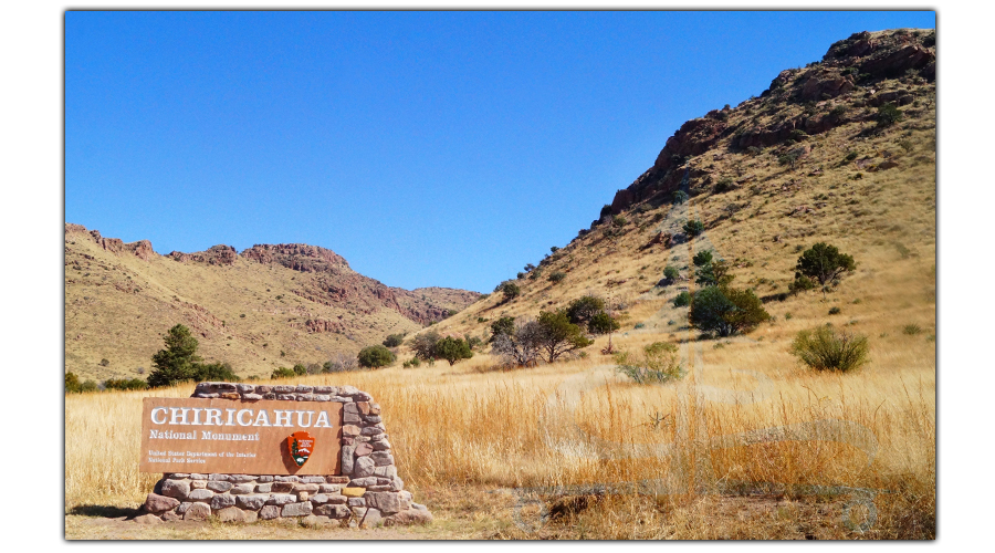
Directions: From the Chiricahua National Monument Entrance sign, follow the main park road E Bonita Canyon Road for about 7 miles to the Massai Point parking area on the right.
Difficulty: Moderate
Distance: 10.2 miles (see itinerary below)
Itinerary for Big Loop Hike:
- Massai Point Nature Trail to Echo Canyon Trail: 0.5 mile
- Echo Canyon Trail: 1.6 miles
- Upper Rhyolite Canyon Trail: 1.1 miles
- Sarah Deming Trail: 1.6 miles
- Heart of Rocks Loop: 1.1 miles
- Big Balanced Rock Trail: 1.0 mile
- Inspiration Point (0.5 mile there and back): 1.0 mile
- Mushroom Rock Trail: 1.2 miles
- Ed Riggs Trail: 0.8 mile
- Massai Nature Trail to Parking Area: 0.3 miles
Our Experience on the Big Loop Hike in Chiricahua National Monument
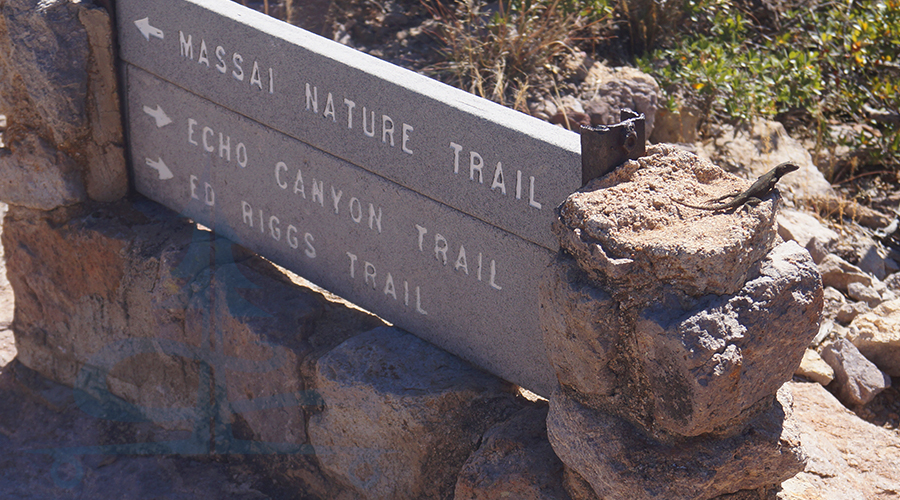
We began the Big Loop hike at the very end of the main road through Chiricahua National Monument, Massai Point. From this overlook area, there are amazing views of the hoodoos and mountains full of unique rock formations. We couldn’t wait to start hiking to and through this scenery!
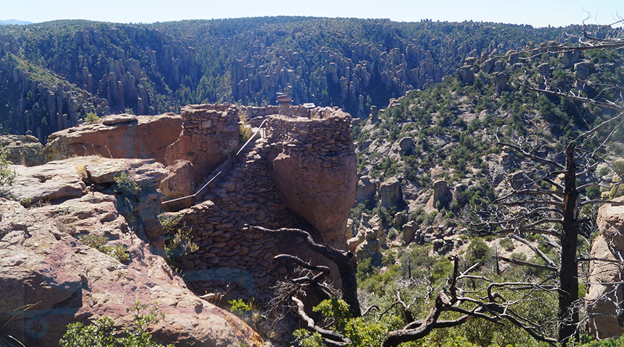
To start, we followed the Massai Point a short way as it led us to Echo Canyon Trail. Already the trail passes through tall balancing rocks and there are plenty more both near and far. From here you can check out the rocks right along the trail and follow the layers of pinnacles in the canyon as it slants all the way down to the vast, flat desert floor below.
Echo Canyon Trail
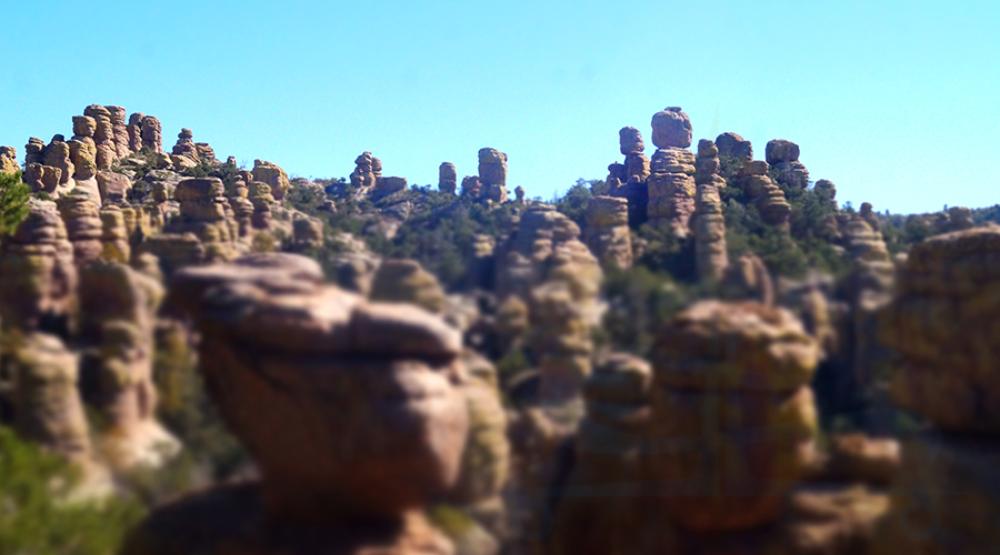
Echo Canyon Trail is a really cool section of the Big Loop hike. There are rocks galore! From tall pillars to small caves created by stacked rocks and cool windows framing unique views of other interesting formations across the way this trail segment is a delight! Each step of the way revealed more towers of stacked rocks and new nooks and crannies to poke our heads into.
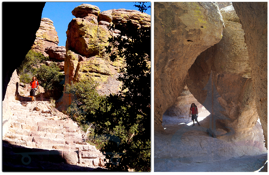
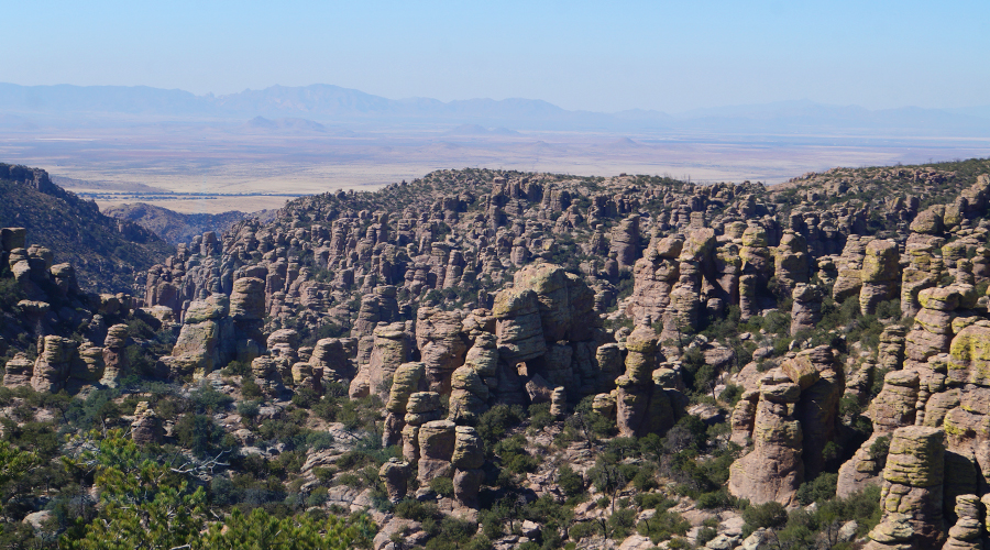
Echo Canyon Trail descends through this dense area of magical rock formations before reaching floor of Echo Canyon. Here the Big Loop hike shifts to a more vegetated area where a creek flows seasonally. We did see several pools of water in the rocky creek bed but definitely no flow. From here, the rock pillars are high above us now. After following the canyon floor, the trail climbs back up out of the canyon presenting beautiful views of the tall pinnacles on the other mountainside.
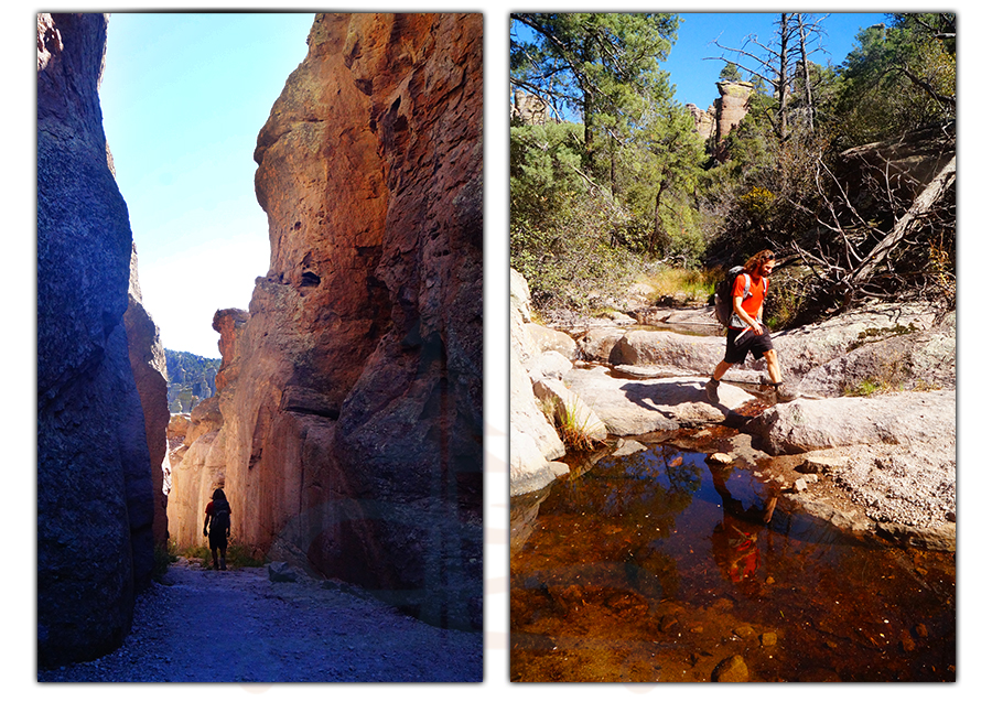
After a beautiful climb, the trail reaches a junction. This is where we continued the Big Loop hike onto Upper Rhyolite Canyon Trail.
Upper Rhyolite Canyon Trail
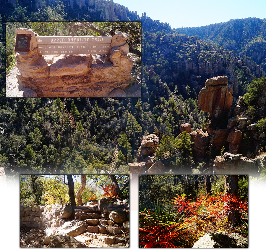
Upper Rhyolite Canyon Trail slowly descends again through the canyon back down to creek level. But on the way down it is very scenic. The mountainsides are covered in green trees and bushes until it reaches the next level where it is more rocky and dramatic. Very beautiful! This section of the Big Loop hike is less up close and personal with the rock formations but allows for new scenic perspectives looking up or out at them instead. And before we knew it, we made it to the next intersection.
Sarah Deming Trail
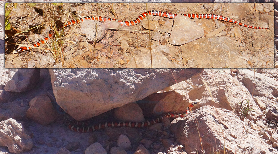
At this next junction, we turned onto Sarah Deming Trail. Sarah Deming Trail led us up the mountainside on the other side of the canyon that we had just previously descended. This side was nice and shady for us at the time that we visited. Now on the far side of the Big Loop hike we had new views of the rocks and terrain that we were in at the beginning of the adventure. Most of this segment was a gradual incline with views of the pillars but none nearby. We were hoping to spot a coatimundi while we were here, but we were happy to have gotten to see several of these beautiful snakes along the way. Then we neared the next trail junction and we climbed to an area with an abundance of rocks. And that is where we picked up the next trail!
Heart of Rocks Loop
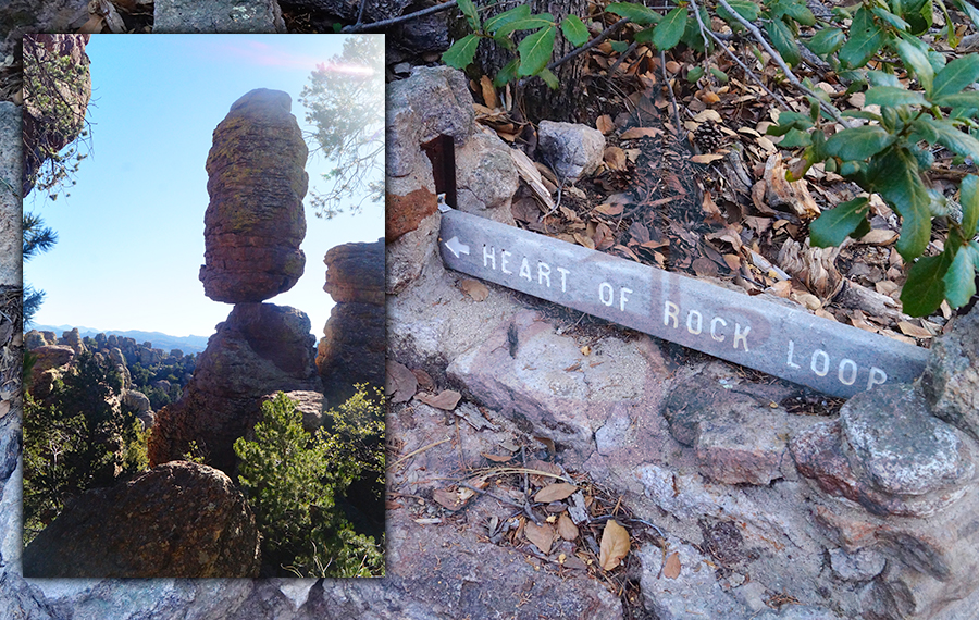
Heart of Rocks Loop is awesome because it’s a loop within a loop but it’s also an incredible tour of the heart of the unique geology that Chiricahua National Monument is known for. This loop is full of exciting sights! There are balanced rocks, towering pillars, small caves, and great views of even more rock formations across the way. Accessing this short but amazing loop is one of the rewards of hiking the Big Loop hike.
Big Balanced Rock Trail
Big Balanced Rock can be seen from several of the trails but it is apparently the defining feature of this trail segment. At the beginning of Big Balanced Rock Trail there are some cool rocks stacked on each other but as we walked away from the Heart of the Rocks Loop the number of rock formations near the trail dwindled.
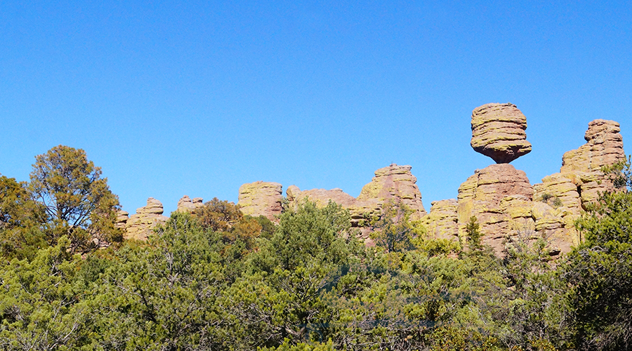
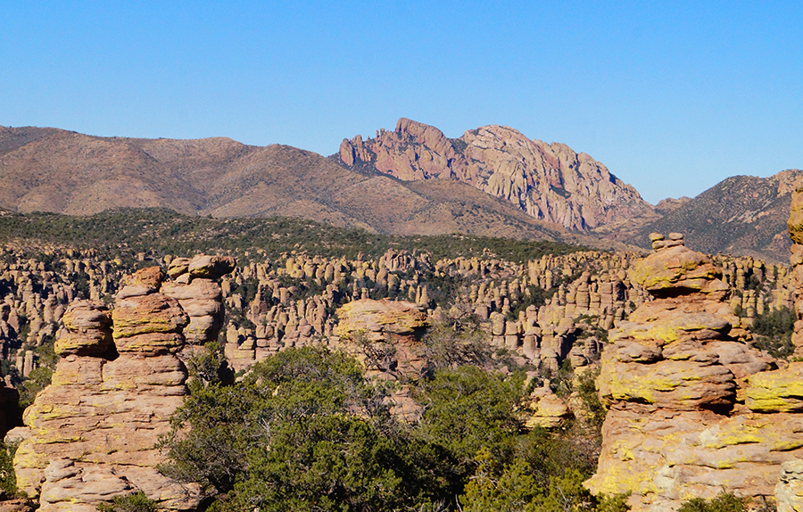
This segment of the Big Loop hike was more exposed as it passed along the top of the ridge. And the surrounding scenery showed several other forested ridges and peaks layering far into the distance. This segment was quick and mostly flat, with vast views of the Chiricahua Mountains.
Hike it Later – Pin it Now!
Inspiration Point Trail
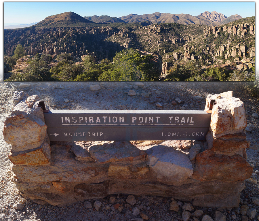
Inspiration Point Trail is a quick side adventure worth adding on to the Big Loop hike. This short and easy trail stays atop the ridge and leads to a beautiful overlook. From here you can take in a vast view that includes the flat desert floor in the distance, the forested canyon full of unique hoodoos and rock formations, the fire lookout tower across the way and Cochise Head in the further mountains. It’s a nice spot to relax and take it all in before wrapping up this incredible adventure.
Mushroom Rock Trail
After returning from Inspiration Point, we picked up Mushroom Rock Trail. This segment was a steady downhill leading down into the shady canyon full of trees and plants. From here we could see the rocks up above but continued down to another intersection. I don’t know if we were getting tired from the miles that we’d already put in or what but neither of us spotted any profound “mushroom rock” on this trail. But I don’t doubt there is one. Next, we turned onto Ed Riggs Trail as we were wrapping up the Big Loop hike.
Ed Riggs Trail
Ed Riggs Trail negated the downhill that we did on Mushroom Rock Trail. We climbed out of the shaded canyon and the surrounding rock formations were exposed once again. The skinny hoodoo formations looked even taller from down below. Ed Riggs Trail was a scenic ending to the impressive Big Loop hike. And the final climb made nearing the parking area after about 10 miles sound great.
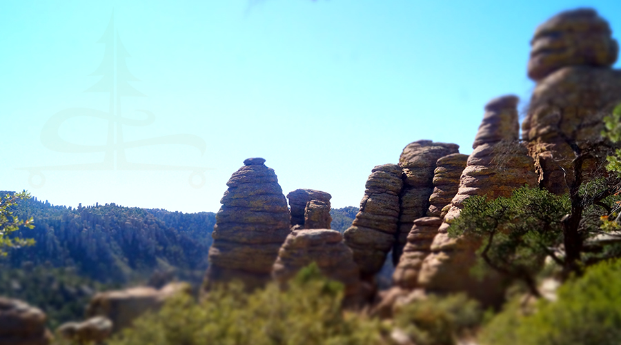
Finishing Up Big Loop Hike in Chiricahua National Monument
From Ed Riggs Trail we made the final turn onto the Massai Nature Trail and once again we were among the pillars and stacked rocks. We took in some final great views as the sun was beginning to set and made our way back to our truck.
Big Loop hike was an amazing experience, and we were so glad that we were able to make the beautiful journey into the heart of the monument! In addition to the adventure through the rocks and the great everchanging scenery, we loved that we had the trail to ourselves for the majority of the hike. If you’re impressed by nature and especially cool geology, we definitely recommend hiking the Big Loop in Chiricahua National Monument!
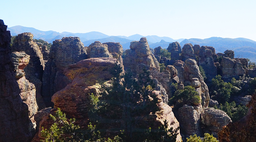
Thanks for Reading about the Big Loop Hike!
We are always on the move and always looking for new places to see and explore! If you’d like to read about some of our other adventures we’ve encountered on the road check out the articles below:
- Hiking in Pinnacles National Park
- Long Lake Loop + Mt Elwell Summit
- Point Trail in West Clear Creek Wilderness
- Sierra Buttes Lookout Tower
While we’re on the move, we’re also working on creating a fresh lineup of our hand painted longboards! If you’d like to see what we’ve been working on, head over to our Lost Coast Longboarding Shop.

And if you do your online shopping on Amazon, please use our link to get to Amazon. Then shop as you normally would and know that you’re helping us out a bit! We appreciate it 🙂


