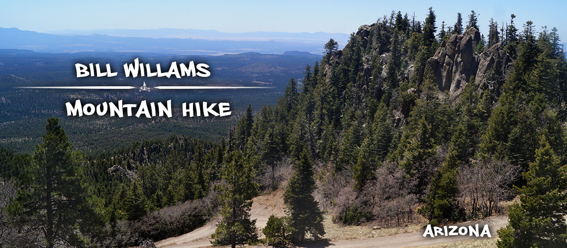
Bill Williams Mountain Lookout | Williams, AZ
Conveniently located just off I-40, hiking Bill Williams Mountain is a great opportunity to earn vast area views from the 9,256 foot summit. The hike begins at Williams District Ranger Station at about 7,000 feet and climbs steadily through the fir and aspen gaining about 2,250 feet. The trail is well maintained and is shaded for the majority of the hike. Hiking Bill Williams Mountain trail is a great way to beat the heat as the combination of shade and elevation make favorable summer hiking conditions. At the summit, enjoy views of the vast surroundings and peaks in the distance.
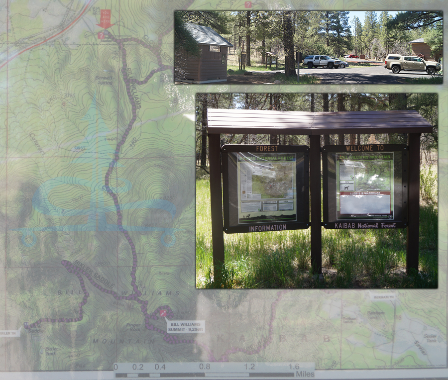
Quick Info:
Distance: About 7.5 miles roundtrip
Difficulty: Moderately strenuous
Elevation Change: 2,250 feet
Directions: From Williams, follow W Historic Route 66/W Railroad Avenue for about one mile. Turn left onto Clover Road at the sign for Williams District Ranger Station and follow it to the trailhead parking area.
Amenities: Vault toilet and picnic table at trailhead
Our Experience Hiking Bill Williams Mountain
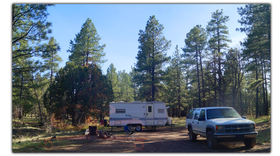
We have done a lot of hiking in the Flagstaff area but this was our first time spending time near Williams. After finding a nice camp spot in Kaibab National Forest we noticed the nearby isolated peak and gathered up some information. A couple days later we headed off on an adventure hiking Bill Williams Mountain Trail.
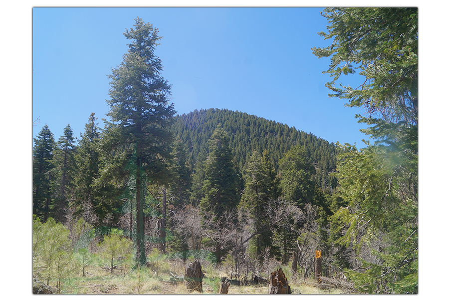
The trail to Bill Williams Mountain lookout is well maintained and well marked. It begins through the conifers and ascends for what feels like the entire way.
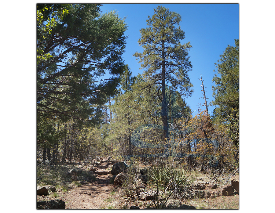
There are some rocky trail sections and we encountered a number of downed trees across the trail but nothing too challenging.
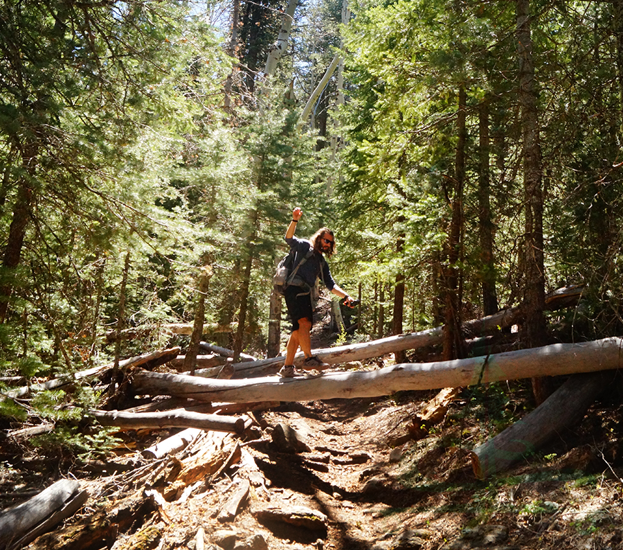
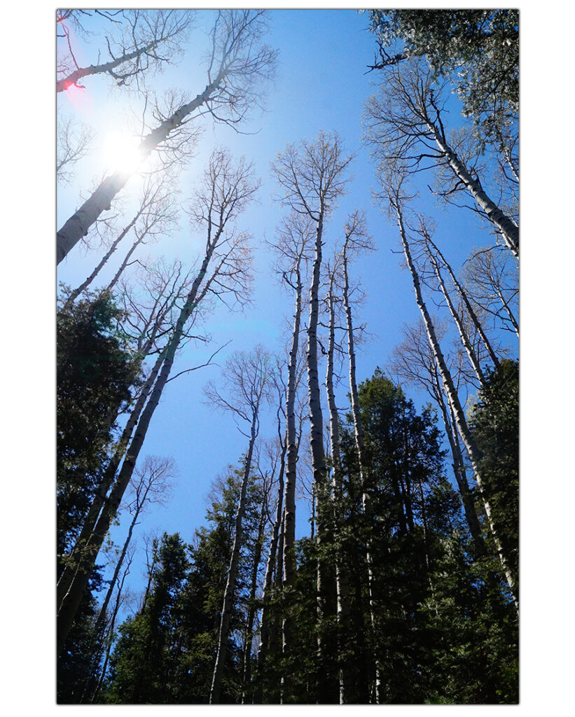
Eventually the forest becomes a even more beautiful mixed conifer and aspen forest. Along the way we passed several students from the high school that were on a hiking field trip but not many other day hikers.
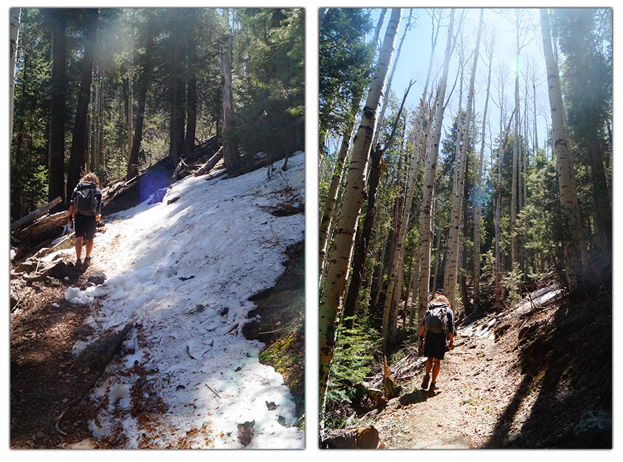
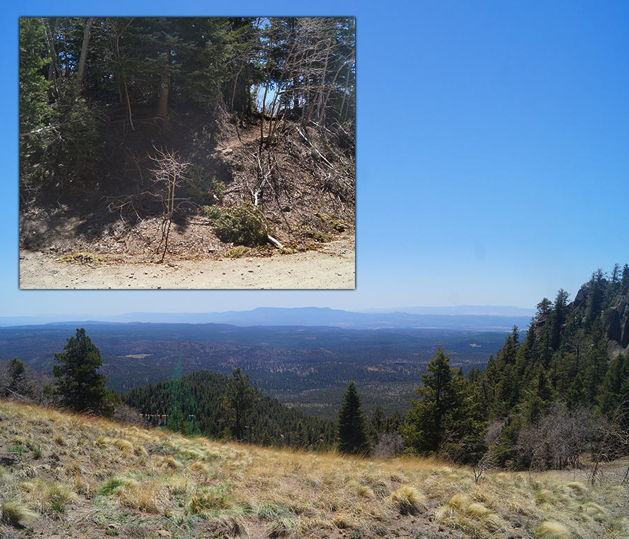
As it turns out, there is a road that can be driven to reach the summit Bill Williams Mountain. The trail crosses the dirt road once and continues climbing the more exposed mountainside. But not much further, the trail joins the dirt road. You will need to follow the dirt road for the final ascent on Bill Williams Mountain trail.
Hike it Later – Pin it Now
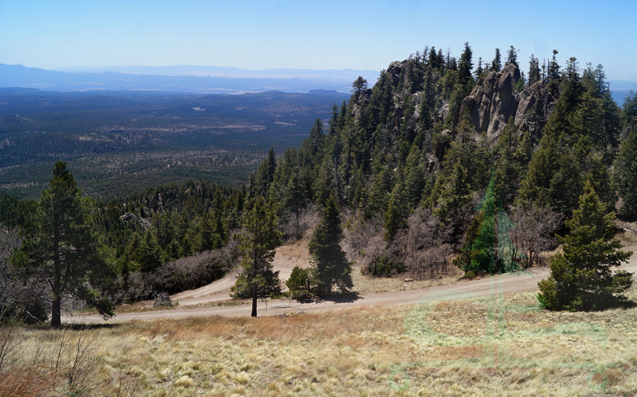
From this exposed section of Bill Williams Mountain Trail we were able to see some cool rock formations nearby. And there are some really nice views from here that stretch on and on overlooking the Coconino Plateau.
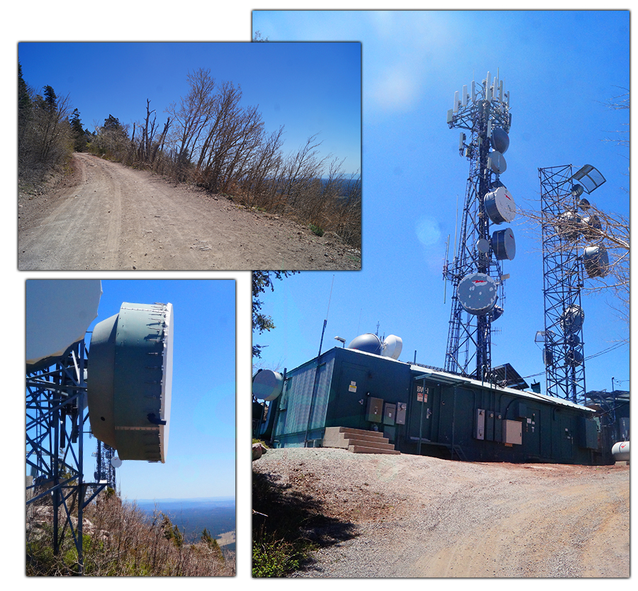
As you continue along the dirt road you will start seeing the many communications structures and eventually the manned fire lookout tower. And we were surprised to find restrooms up here as well.
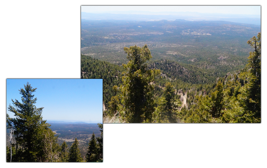
This is where hikers will take in the well earned views, take some photos and maybe enjoy a picnic. But today, hiking Bill Williams Mountain trail was a bit of a different experience.
As we were approaching the fire lookout tower, we look at each other very confused. We were suddenly hit with the incredible smell of someone grilling out. Remember those high school kids we said that we encountered on the trail earlier? Well there were a lot more already at the top. We came to learn that this is an annual hiking opportunity for the high school freshmen. And at the top they grill out. Luckily the faculty manning the grills offered us a burger too and we were extremely thankful! What a treat. We had no idea just how good a grilled burger at the top of a summit hike could be!
So we enjoyed our burgers and enjoyed the views that we came up here for. In all honesty, access to the views are a bit restricted by the amount of structures atop Bill Williams Mountain. But all in all, the hike was pleasant the entire way and we totally lucked out with a surprise treat at the top. From here, we thanked everyone again and made our way back down the way we came.
Thanks for Reading About Hiking Bill Williams Mountain!
We love hiking and exploring new areas. You never know what you’re going to encounter. We live on the road full time and hike as much as we can. If you’d like to see more of our hiking adventures, check out the links below:
- Oasis on Black Canyon Trail
- Teocalli Peak in Crested Butte
- Bumpass Hell + Cold Boiling and Crumbaugh Lakes
- Hilton Lakes Trail
To support our on the road lifestyle, we create hand painted one of a kind longboards. And we also design and screen print our own shirts. If you’d like to check them out, head over to our Lost Coast Longboarding Shop!
Want to help us out in other ways? You can click the image below to get to Amazon.com and buy the stuff you usually buy. It won’t change your shopping experience but it’ll help us out a bit 🙂
