Hiking to Owens Peak in the Southern Sierras
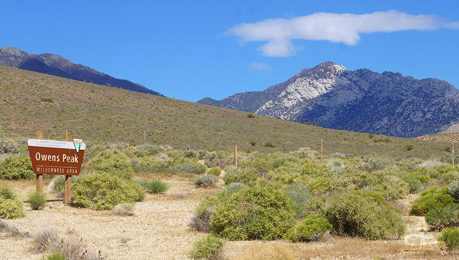
Owens Peak is a prominent peak in the southern Sierra Nevada Mountain Range near Ridgecrest, California that stands at 8,453 feet. There are two different routes for hiking to Owens Peak and both gain substantial elevation, making the views from the top that much more rewarding! One route (longer) is accessible by any standard vehicle while the other (shorter) route is accessible to high clearance vehicles with 4WD capabilities if needed.
We tackled (and wrote about) the shorter route though I’ve included directions to both of the trailheads below. This is a great hike – the physical challenge, the beautiful vistas and the sheer ecstasy of just being atop a mountain make hiking to Owens Peak a must do for anyone who loves adventure.
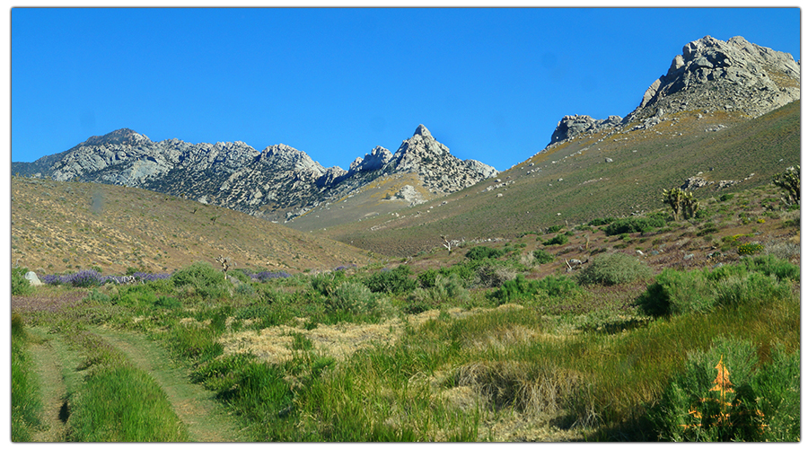
Quick Info: Hiking Owens Peak
Distance: 3 miles roundtrip
Difficulty: Short but moderately strenuous
Elevation Gain: 2,850 feet
Directions (shorter route, high clearance recommended): Heading north on the US-395, turn west onto Athel Ave. After 1.4 miles turn left on CA-14S and follow that for 0.8 miles. Turn right onto Indian Wells Canyon Rd/BLM Rt SE 152 – high clearance 4WD vehicles recommended from this point on. Follow this for 2.8 miles to the intersection with SE 164. Follow SE 164 for 5 more miles. Park here and pick up the trail (an old jeep trail at first) along the south side of the canyon bottom.
Directions (longer route, passable by standard vehicle): From the CA-14, take the turn for the CA-178 W. Follow the CA-178 W for about 8.5 miles and then the trailhead will be on the right. (Note: From here, the hike to Owens Peak is 10 miles roundtrip. This route is not covered in this article.)
Our Experience Hiking to Owens Peak
After spending the last few months in the desert we couldn’t wait to get on top of a mountain! Although everywhere high elevation was still too cold to leave the desert just yet we took a day to get into the southern Sierra Nevadas and hiked to Owens Peak. We opted for the shorter route option and the drive to the trailhead was indeed a bit rough.
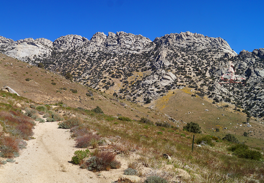
The hike began on an old jeep trail along the south side of the canyon bottom. The trail was a combination of dirt and rock but already ascending. Before we knew it we had transitioned from the desert-like landscape to woods! With trees and shade! We love the desert but we’ve been desert bound for a few months so it was kind of a big deal. Here, the trail was obvious as it climbed up through the wooded section.
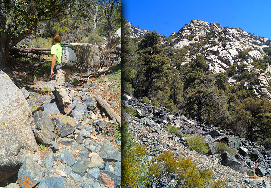
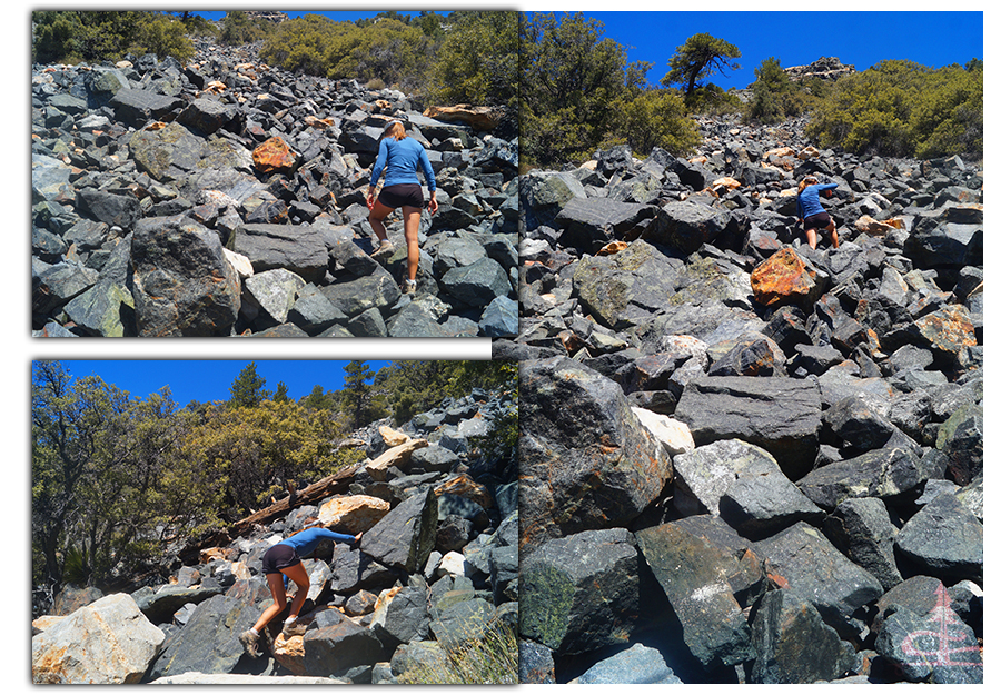
Shortly after that, the next segment of hiking to Owens Peak included a steep ascent up a boulder field. Here the trail became seemingly nonexistent but we knew that the destination was up, so up we went. After the boulder field we thought we had rejoined the trail but it wasn’t the main trail we were following before. We kept climbing, looking for the more defined path. Finally we found it again and we made a mental note to be sure to take that route down on the way back as it was much more desirable.
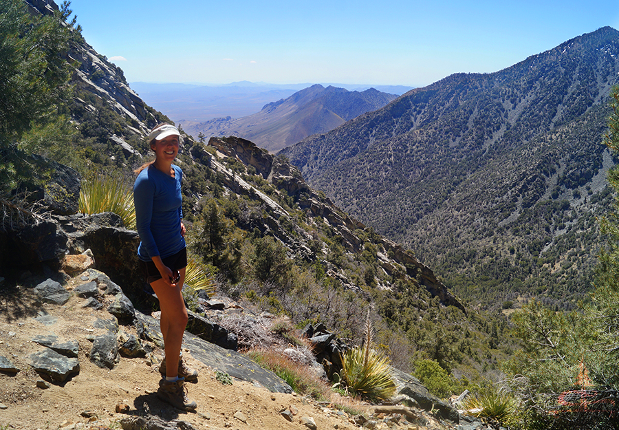
The trail continued to climb steeply. The loose rocks that made up the path mixed with the angle of the climb made it a bit tricky but that much more of an experience to remember. Then we stair-mastered another exhilarating boulder field steeply up the mountain side before rejoining a defined dirt and rock trail.
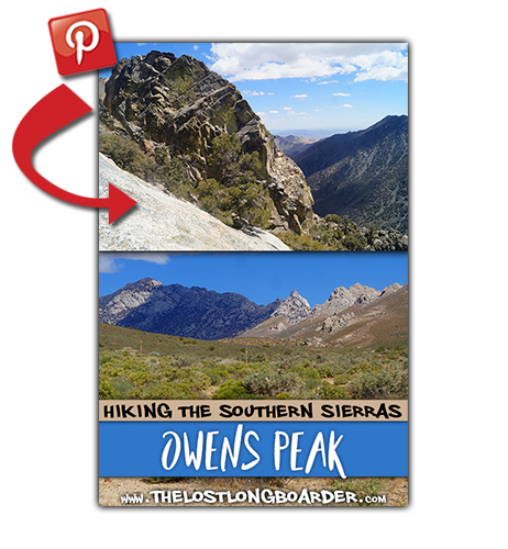
Liking this article? Pin it!
The views looking down below were awesome already, providing a cool vantage point looking down at the spine of the Five Fingers formation. Looked like another cool hike to be sure to do next time we’re in the area.
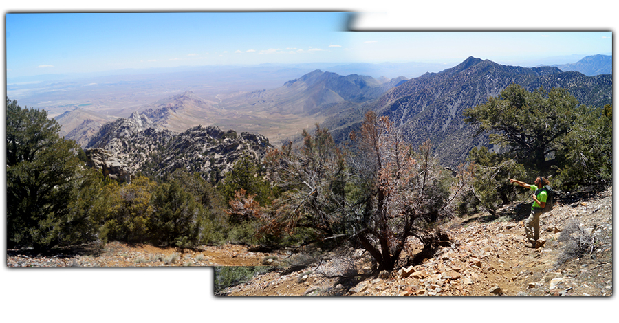
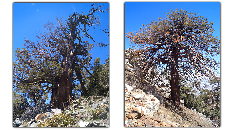
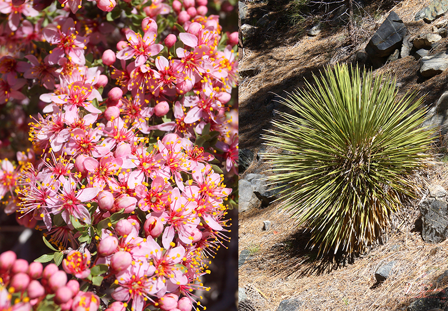
We continued the hike to Owens Peak, passing a mix of both cacti and bristlecone pines!
Finally, we made it up and over and were standing at the top of Owens Peak! The views in every direction were so vast and sprawling. The Mojave Desert stretched out to the east and the many more mountain tops making up the high Sierras to the west.
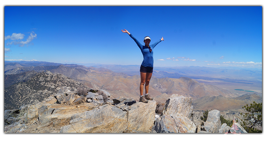
Seeing far into the Sierras made us excited for our next opportunity to adventure in the heavenly granite of the Sierra Nevadas. We were so mesmerized by the panoramic beauty all around. It was surprising that we were completely alone at the top. It felt euphoric, as it always does, to be out enjoying the stunning beauty of nature where life seems to put itself into perspective for you.
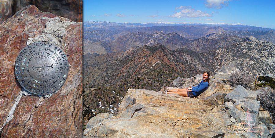
We ate our PB&Js while taking in the scenery and then signed the trail log book. Then we played around on the summit, found some snow patches and threw some snowballs. We did meet one other person on the top before heading back down the steep rocky trail.
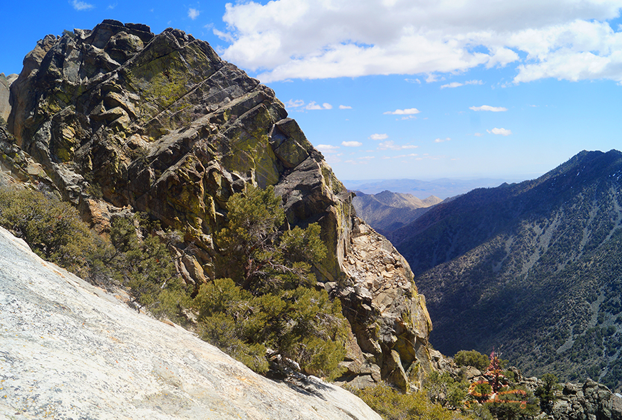
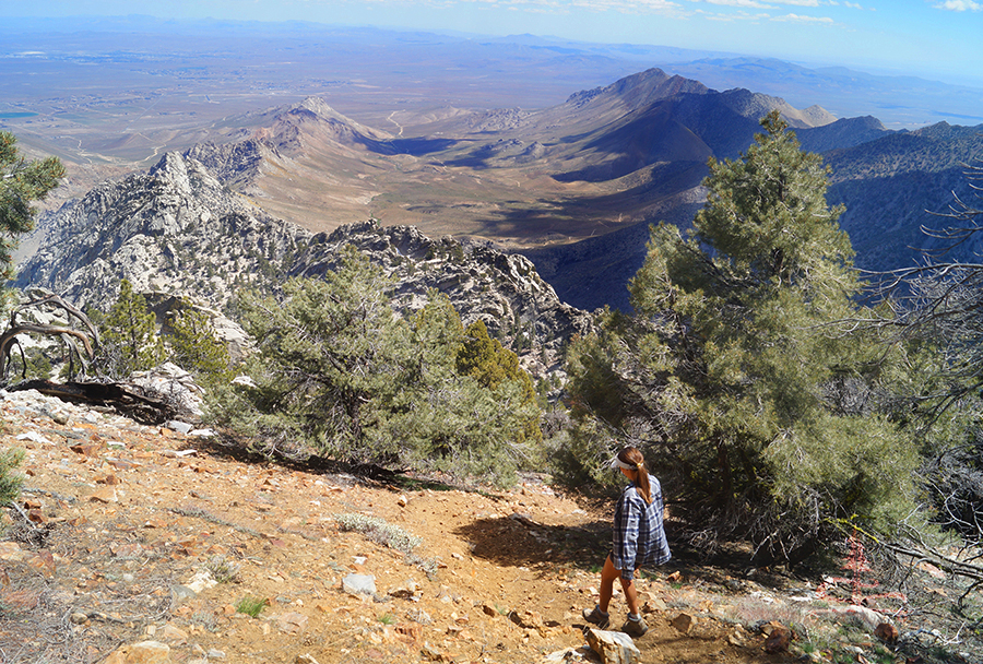
The way down seemed even more challenging than the way up! We really had to take care with our footing as we descended the loose rocks on the steep path. Some areas were pretty sketchy but we made it down safely.
Thanks for Reading!
Hiking to Owens Peak was a super rewarding adventure. Even though it was only 3 miles it felt like we had to work for the beauty that we were rewarded with at the top. As always, we were excited for whatever adventure was next!
Check out some of our other favorite hiking adventures!
And if you’re interested in helping support The Lost Longboarder, head over to our Lost Coast Longboarding shop! Our longboards are all hand painted and one of a kind and our T-shirts are screen printed by us!
Also, if you shop on Amazon, click the link below to get to Amazon before doing your shopping. It won’t affect your shopping experience but it helps us out a little!


