-
Chiricahua National Monument | Quick Guide to the Wonderland of Rocks
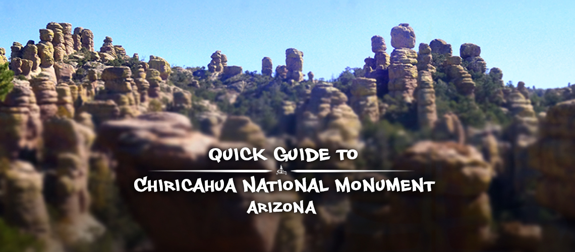
Chiricahua National Monument is a beautiful and unique off the beaten path pocket of wilderness in the southeast corner of Arizona. The area is known as a sky island - an isolated mountain range that rises above the vast surrounding sea of desert. As the elevation increases, the cacti and mesquite give way to sycamore, juniper and oak trees and eventually cypress, pines and fir. But what really stands out about Chiricahua National Monument are the amazing rock pinnacles found towering throughout the park.
-
Big Loop Hike in Chiricahua National Monument
The Big Loop hike is the best hike in Chiricahua National Monument for immersing yourself in the incredible rock formations and experiencing the areas outstanding scenery! There are nine different trails that link together to create the Big Loop hike showcasing the most dramatic and numerous rock formations within Chiricahua National Monument.
-
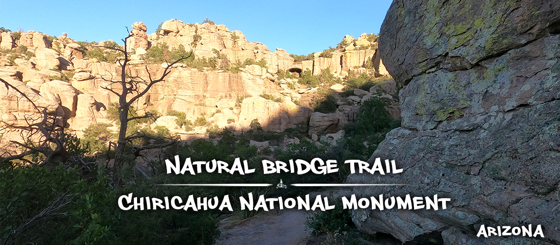
Hiking Natural Bridge Trail | Hikes in Chiricahua National Monument
Hiking Natural Bridge Trail is a great hike in Chiricahua National Monument to find solitude and wander through the beautiful wilderness. This hike is less sought out by visitors hiking in Chiricahua National Monument. And for this one, the magic is in the journey with a simple treat at the end. If you're not scared of putting in the miles to appreciate the wild and scenic allure of this trail then hiking Natural Bridge Trail is for you!
-
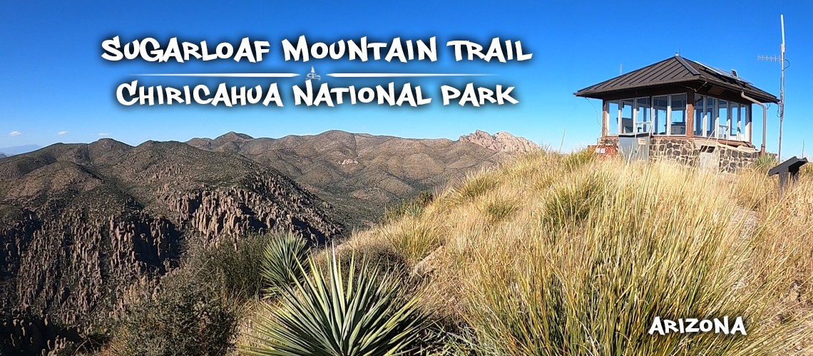
Sugarloaf Mountain Trail | Hiking in Chiricahua National Monument
There are several trails to choose from for hiking in Chiricahua National Monument but if you're looking for a short and sweet hike with a view, hiking Sugarloaf Mountain Trail may be a good option for you!
-
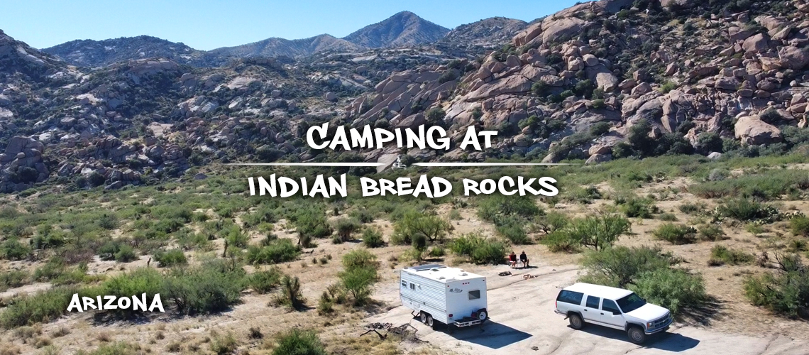
Free and Fun Camping at Indian Bread Rocks | Bowie, AZ
Camping at Indian Bread Rocks is such a treat! Tis the season to head south and follow the great weather. Some desert camping is more exciting than others but this is a spot that we were happy to stay at for two weeks. Indian Bread Rocks is a BLM area in the Dos Cabezas Mountain Wilderness with several dispersed camping spots, great desert scenery and rugged mountains of granite boulders to play on.
-
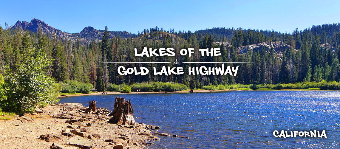
Tour of the Lakes on Gold Lake Highway
Lakes Basin Recreation Area is an unbelievable destination in the northern Sierra Nevada mountains with an incredible landscape of jagged, dramatic peaks and numerous glacially carved lakes. Gold Lake Highway is a scenic route that connects Bassets Station to Graeagle and provides access to endless outdoor recreation in this gorgeous area.
-
Free Camping Near the Sierra Buttes | Gold Lake Highway
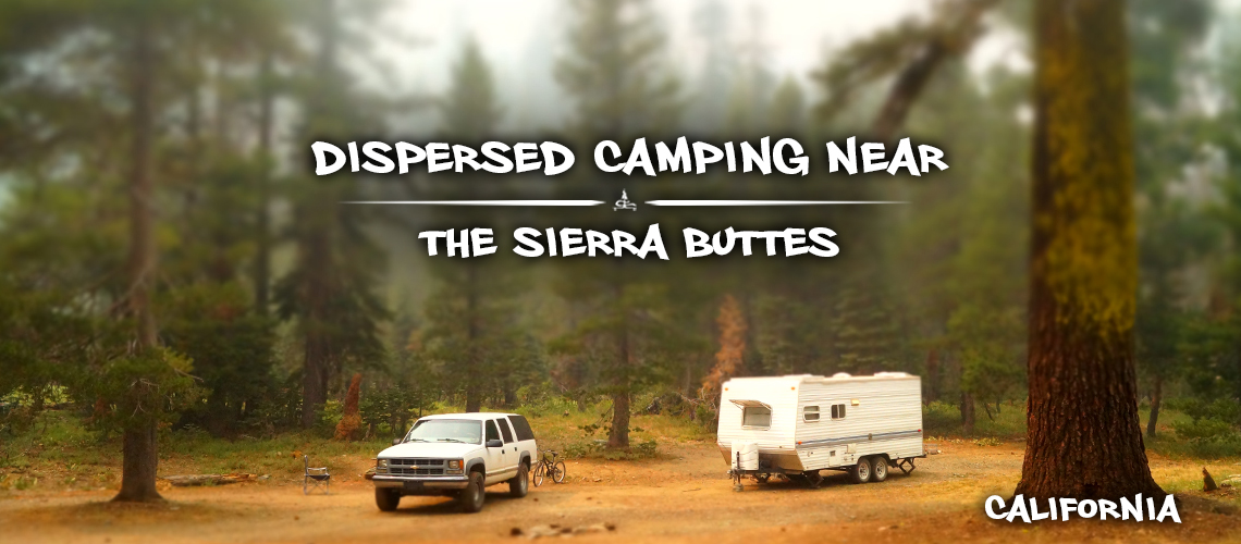
After spending some time exploring the northern Gold Lake Highway in Plumas National Forest, we still had more to see and we weren't quite ready to leave the area. So that's when we headed to the southern section of Gold Lake Highway in Tahoe National Forest. And we were stoked to find that there were actually options for free camping near the Sierra Buttes. To find this spot, we actually asked some rangers about any dispersed camping in the area and they pointed us to this spot.
-
Free Camping Near Quincy | Bucks Lake Road
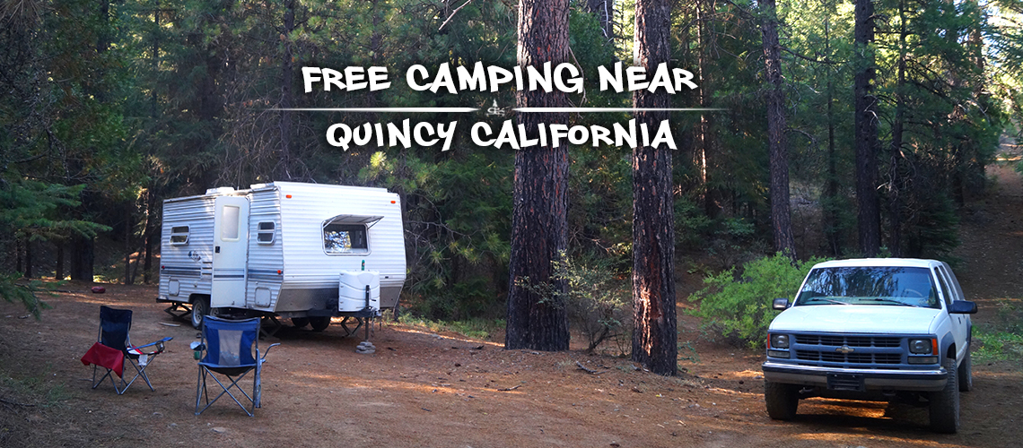
After spending a few weeks exploring some great spots in Tahoe National Forest, we decided to head north to check out the free camping near Quincy. As we were driving through the area we noticed that there are plenty of dirt forest roads to choose from. And different than a lot of areas, it took us no time at all to find a nice and easily accessible spot for camping near Quincy.
-
Hiking Long Lake Loop + Mount Elwell on Gold Lake Highway
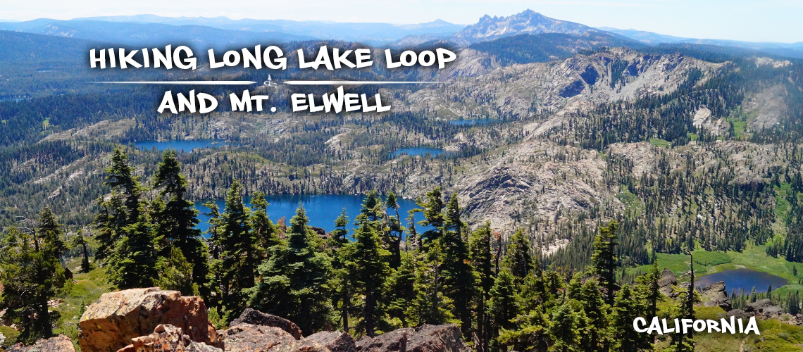
If you're looking for an adventure off of Gold Lake Highway, hiking Long Lake loop is a great option! Not only is it a loop (which if you don't know by now we're big fans of) but you can also add on Mount Elwell to experience a peak with incredible views in every direction. And there are also several options for extending the loop to check out even more of the gorgeous lakes in the area. Hiking Long Lake loop offers a little bit of everything while doing a great job of showcasing the beauty of this special area.
-
Hiking to Sierra Buttes Lookout | Gold Lake Highway
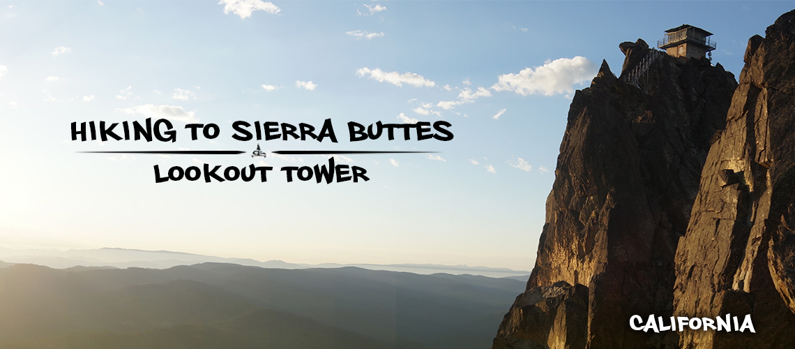
When we first laid eyes on the Sierra Buttes and spotted the lookout tower, we had no idea how accessible hiking to Sierra Buttes Lookout would be! Once we got to the Gold Lake Highway area we were in completely unfamiliar territory and we had never even heard of the Sierra Buttes. But once we saw the dramatic towering mountains for the first time, we knew we had to see more! And hiking to Sierra Buttes Lookout was the perfect opportunity.
