-
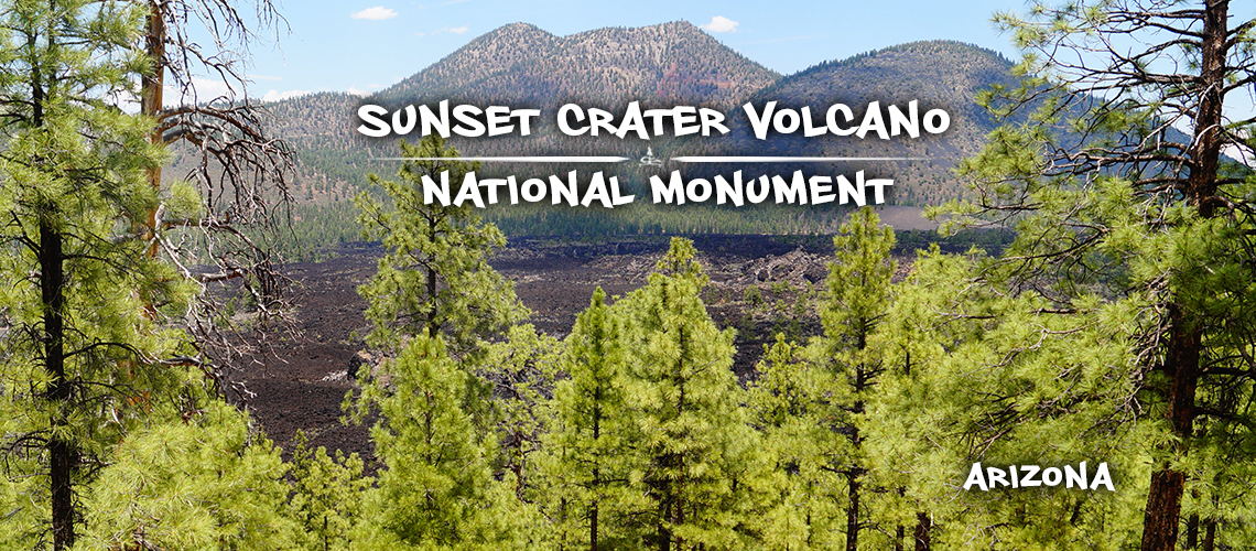
Sunset Crater National Monument
Sunset Crater Volcano National Monument is a small protected area 12 miles north of Flagstaff. A visit to the national monument gives visitors a deeper look into the areas volcanic history and how it shaped the area. Sunset Crater Volcano National Monument features a 1,000 foot volcanic cone and its lava flows. These features and their surroundings can be experienced from five interesting trails throughout the monument. And don't miss the impressive overlook on the eastern edge of the monument boundary.
-
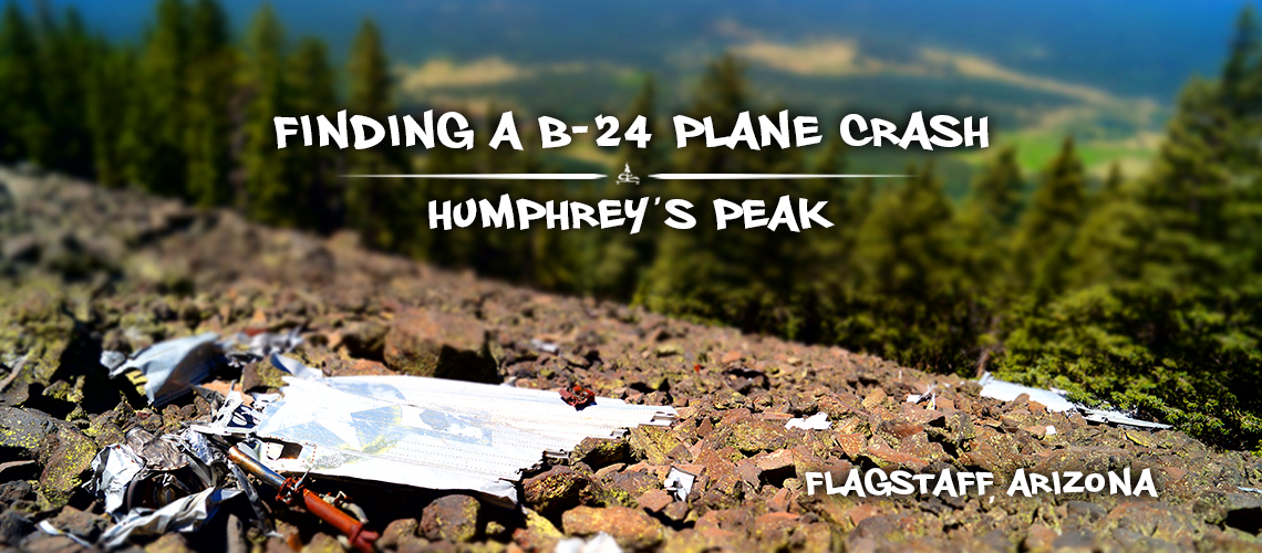
Plane Crash on Humphreys Peak Trail | B-24 Bomber
Humphreys Peak Trail is a very popular trail in the Flagstaff area. Not only does it provide gorgeous panoramic views but it is also notably the highest point in Arizona, at 12,633 feet. As I was looking for alternative, less popular routes for reaching the summit I stumbled upon some interesting history in the area about a plane crash on Humphreys Peak Trail. So after a little bit of research and assistance from Google Earth, we set out to find it!
-
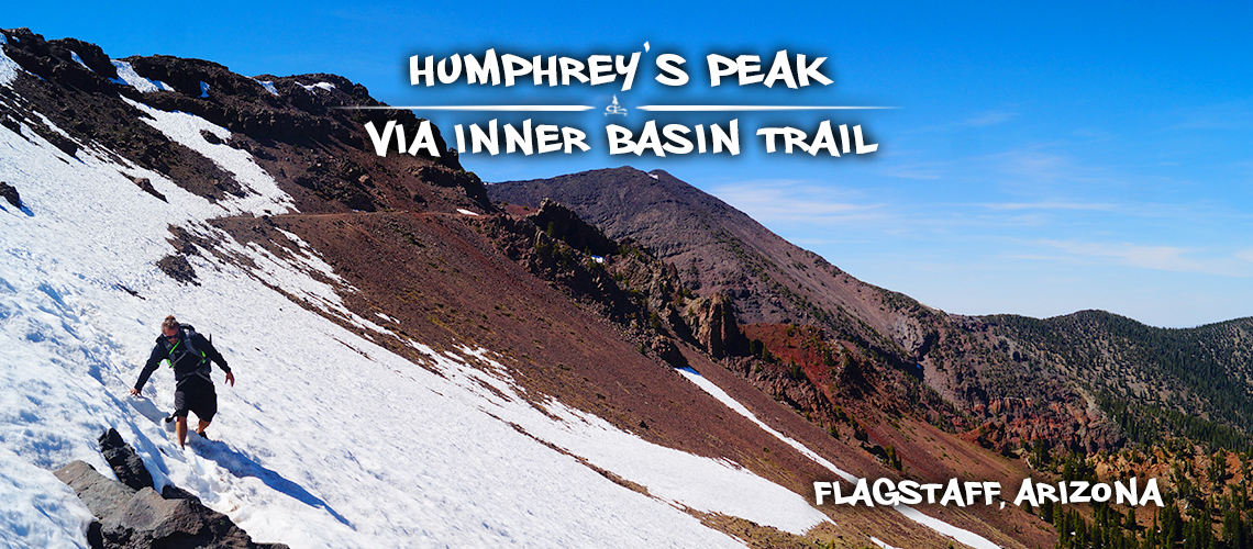
Hiking Humphreys Peak via Inner Basin Trail
Humphreys Peak is the highest point in Arizona making it a popular destination for hikers. There are several routes to the summit. Skip the crowded Humphreys Peak Trail and enjoy the scenery and solitude on Inner Basin Trail!
-
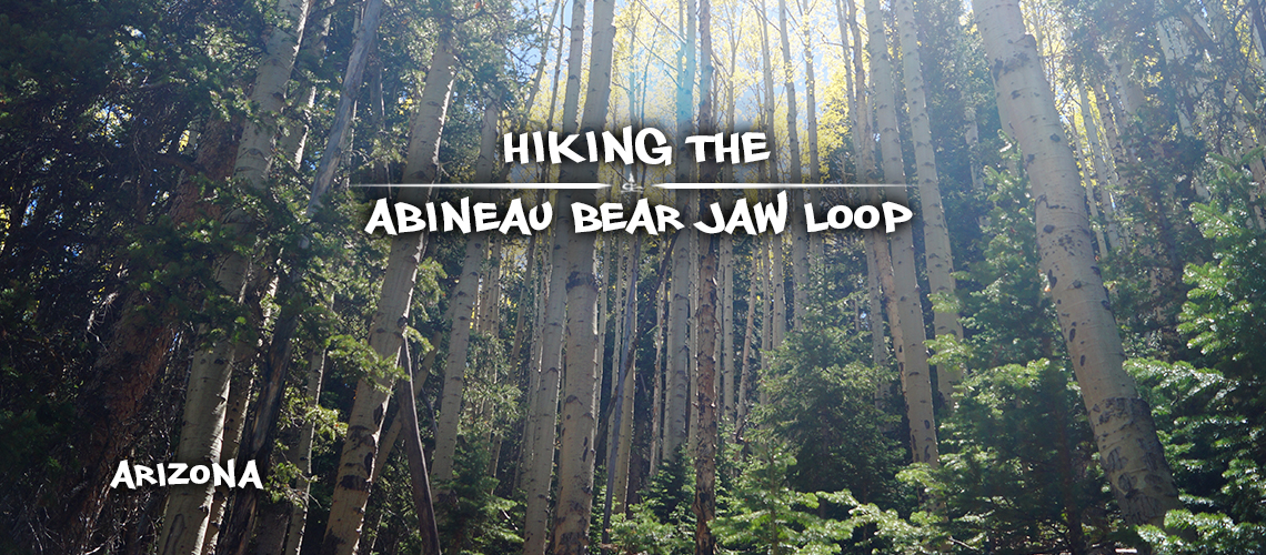
Abineau and Bear Jaw Loop | Hiking Near Flagstaff
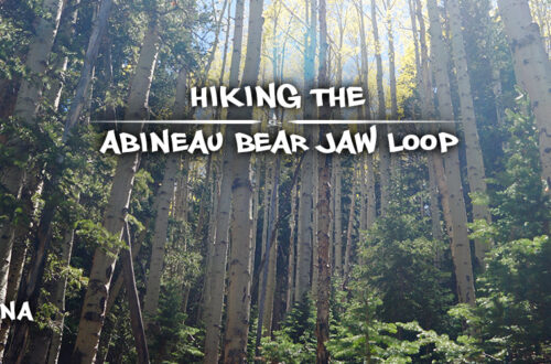
Abineau and Bear Jaw Loop is a great day hike in the San Fransisco Peak Mountains. The elevation gain makes for a great workout, and walking through the beautiful mix of conifer and aspen forests is a real treat. Not to mention, the views of both Humphreys Peak and the vast expanse of desert floor at once makes for a memorable experience!
-
Hiking Tom’s Creek | Coconino National Forest
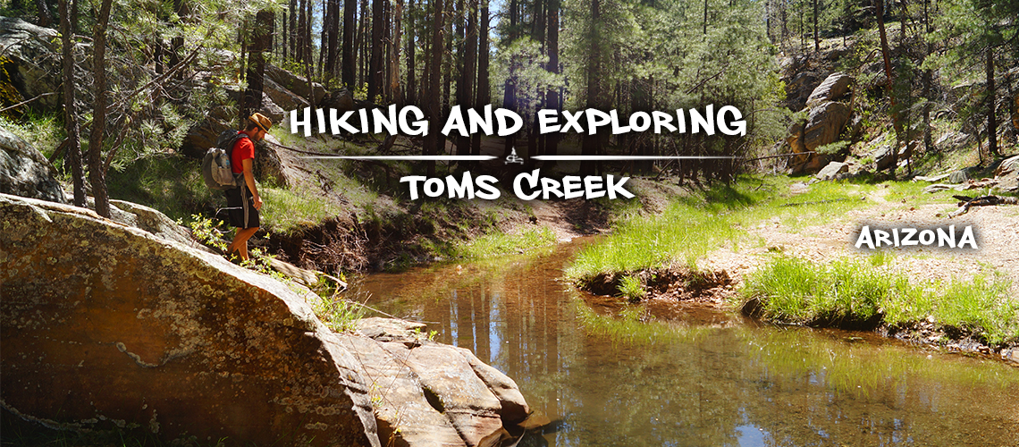
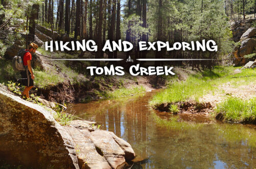
We settled into our new camp spot then headed out to check out the area. That's when we found Tom's Creek! And you usually can't go wrong hiking near or to water. We found a spot to park then followed the creek upstream through the pretty, green and wooded canyon.
-
Hiking Point Trail | West Clear Creek Wilderness
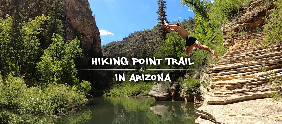
I'll start out by saying that hiking Point Trail in the West Clear Creek Wilderness is nothing short of an incredibly gorgeous, jaw-dropping adventure! West Clear Creek Wilderness is a stunning, rugged, dramatic, beautiful canyon carved out by the crystal clear West Clear Creek. After descending into the canyon, follow the water as it exposes beauty around every bend!
-
Camping and Exploring Near Mayer Arizona
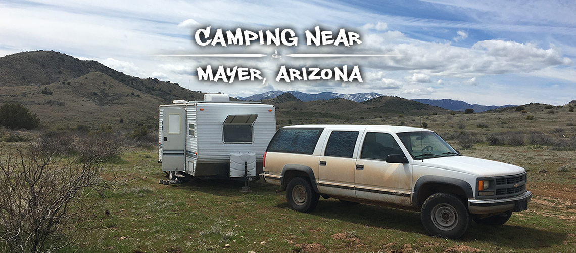
We had no idea how much we were going to enjoy camping near Mayer, Arizona! Honestly we didn't know the town of Mayer existed and had no idea we were going to be camping nearby for two weeks. Sometimes it's the random spots that we stumble upon with absolutely no expectations that end up being the best boondocking experiences.
-
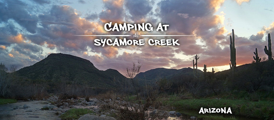
Camping Near Sycamore Creek | Beeline Highway
After looking and looking, we pulled the trailer down near Sycamore Creek and then through the wash for about a quarter mile in questionably deep sand. With some strategy and enough speed, we managed to back our trailer into the perfect little branch off of the main wash. And we were home!
-
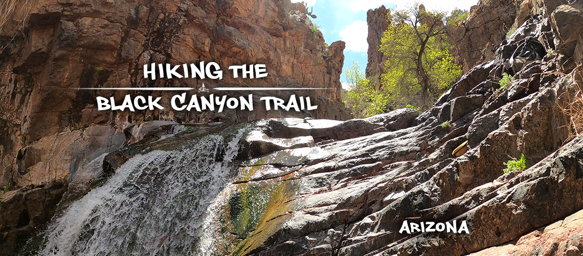
Hiking to an Oasis on Black Canyon Trail
Black Canyon Trail is near Cottonwood, AZ and off most peoples radars with the extremely popular (and beautiful) Sedona area being so near. Hiking Black Rock Canyon trail was enjoyable from the get go but got better and better! Starting out on this hike, it would be hard to guess that it leads to such a stunning and gorgeous oasis lined canyon!
-
Watson Lake Hiking – Flume and Watson Dam Trailhead
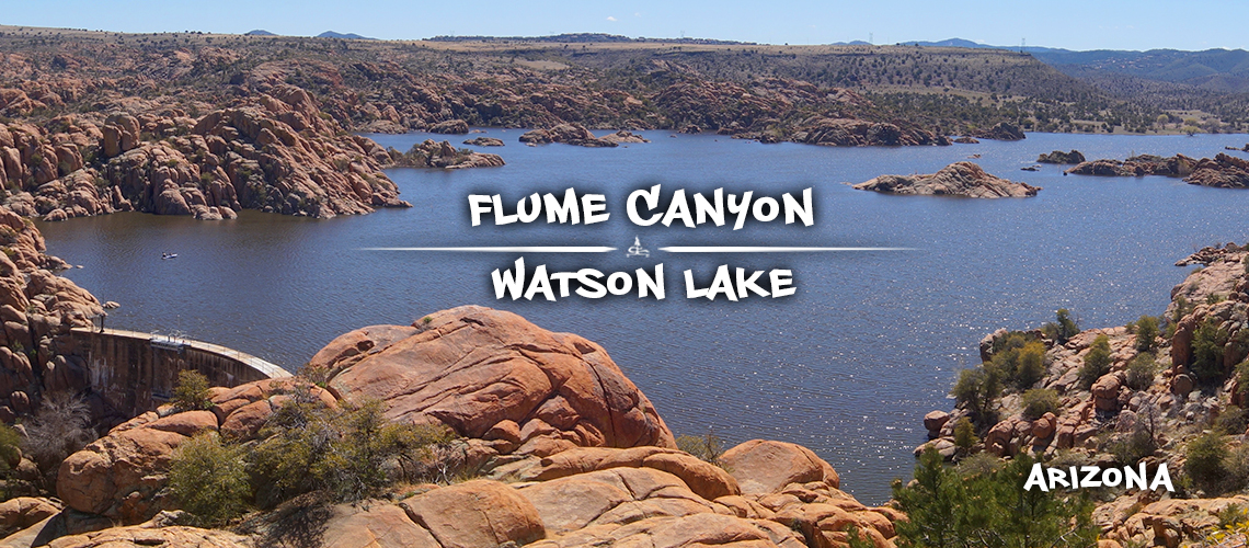
Not only can you hike and circumnavigate Watson Lake on Watson Lake Loop Trail but you can explore even more of these incredible Joshua Tree-esque rocks from the Flume and Watson Lake Trailhead! Find a waterfall on Watson Dam Trail, stair step your way up Flume Canyon Trail to find impressive views of Watson Lake below. Get off trail, climb around, take side adventures, find water holes and explore as you reach other little trails such as Secret Cove.
